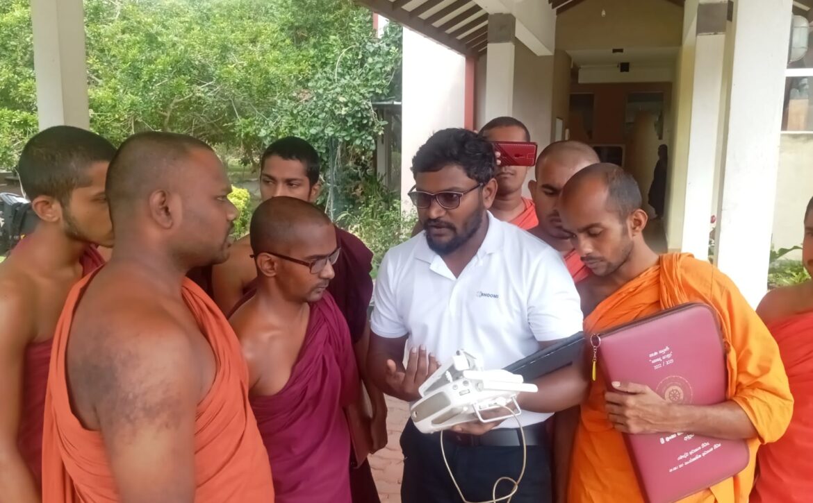
A GIS and Remote Sensing Workshop was successfully conducted on 11 and 12 December 2024 at the Bhiksu University of Sri Lanka. The programme was organized by the Department of Social Sciences and Comparative Studies for student monks pursuing the Archaeology Honours Degree.
The workshop was facilitated by expert instructors Mr. Amara Perera, Mr. Dhanajana Wikramage, and Mr. H. K. S. N. Jayasinghe from the Department of Archaeology. Drawing on their professional experience, they provided comprehensive guidance on the application of Geographic Information Systems (GIS) and remote sensing technologies in archaeological research.
The sessions focused on site mapping, spatial data analysis, satellite imagery interpretation, and the use of digital tools for archaeological documentation. Students were introduced to modern techniques of spatial data collection, georeferencing, and landscape analysis, enabling them to understand how technology enhances archaeological investigation and heritage management.
Through practical demonstrations and hands-on activities, participants strengthened their technical competencies and gained valuable insights into integrating GIS and remote sensing methodologies into fieldwork and academic research. The workshop significantly contributed to advancing the technological proficiency of archaeology students and supporting innovative research practices.